Record Detail
Advanced Search
Text
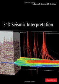
3-D Seismic Interpretation
3-D seismic data have become the key tool used in the oil and gas industry to understand the subsurface. In addition to providing excellent structural images, the dense sampling of a 3-D survey can sometimes make it possible to map reservoir quality and the distribution of oil and gas. The aim of this book is to help geophysicists and geologists new to the technique to interpret 3-D data while avoiding common pitfalls. Topics covered include basic structural interpretation and map-making; the used of 3-D visualisation methods, interpretation of seismic amplitudes, including their relation to rock and fluid properties; and the generation and use of AVO and acoustic impedance datasets. Also included is the increasingly important field of time-lapse seismic mapping, which allows the interpreter to trace the movement of fluids within the reservoir during production. The discussion of the acquisition and processing of 3-D seismic data is intended to promote an understanding of important data quality issues. Extensive mathematics has been avoided, but enough detail is included on the effects of changing rock and fluid properties to allow readers to make their own calculations.
Availability
| 1818/PUP/2016 | 622.1592 BAC s c.1 | Perpustakaan Universitas Pertamina | Available |
| 6525/PUP/2018 | 622.1592 BAC s c.2 | Perpustakaan Universitas Pertamina | Available |
| 8746/PUP/2019 | 622.1592 BAC s c.3 | Perpustakaan Universitas Pertamina | Available |
Detail Information
| Series Title |
-
|
|---|---|
| Call Number |
622.1592 BAC s
|
| Publisher | Cambridge University : New York., 2007 |
| Collation |
x, 225 p. : Illust. ; 25 cm
|
| Language |
English
|
| ISBN/ISSN |
9780521710664
|
| Classification |
622.1592
|
| Content Type |
-
|
| Media Type |
-
|
|---|---|
| Carrier Type |
-
|
| Edition |
-
|
| Subject(s) | |
| Specific Detail Info |
-
|
| Statement of Responsibility |
-
|
| Department(s) |
Other version/related
No other version available


